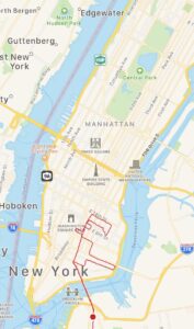
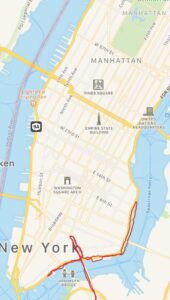
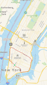
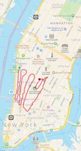
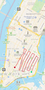
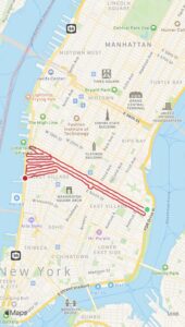
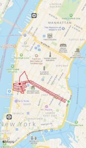
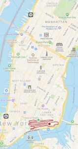
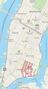
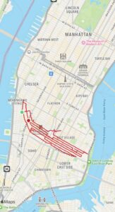
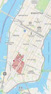
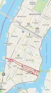
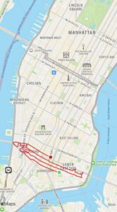
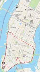
At the end of summer of 2021 I did two long runs in Lower Manhattan (weeks 1 and 2) to test out the possibility of covering the terrain I’m currently writing about. It went well, so between September 19 and December 3 (2021), I ran through all the streets (and many sidewalks) of downtown Manhattan between the two rivers from Fourteenth Street to Canal Street. This area (about 3 square miles, with a perimeter of 7 miles) covers Greenwich Village, the East Village, lower Lower East Side, and SoHo (and what’s now called Hudson Square, west of SoHo). I ran most Sunday (some Monday) mornings about 5-12 miles each time. With about 95 miles to cover, it took 11 outings (weeks 3-13) over the course of two and a half months. After each run I posted a map from my MapMyRun app. My early posts included a second map with some of the highlights (I’ll need to catch up with this for the later runs). Click on the maps below for more info or follow my Running Downtown posts in sequence.
Interactive Google Map of the terrain


